Rila-Mountains-Bulgaria-150000-Hiking-Map-GPScompatible-DOMINO
Description
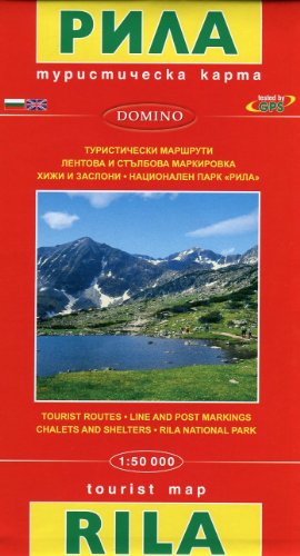
- Bulgaria Rila Mountains Rila map
Rila Mountains at 1:50,000 on a large, double-sided, contoured map with GPS waypoints and highlighted hiking routes. Topography is shown by contours at 50m intervals with additional relief shading and graphics and colouring for sandstone stacks, single rocks over 5m high, marshlands and different types of woodlands.
An overprint highlights hiking routes indicating their waymarking. Also marked are different types of tourist accommodation including campsites, mountain shelters and chalets, restaurants, drinking fountains and springs, etc. The map has latitude and longitude lines at intervals of 5' and an additional list of GPS waypoints for 68 major shelters and chalets, peaks, etc. Names of towns and larger villages as well as of most geographical features are in are shown in Cyrillic and Latin alphabets. Map legend includes English and informative text is in Bulgarian and English.
Shipping & Delivery
Your order is shipped from the USA and delivered to your door in South Africa in 10–20 working days. All items are fully tracked.
Returns & Exchanges
We offer a 30-day return window. If something isn't right, contact our support team and we'll make it right.