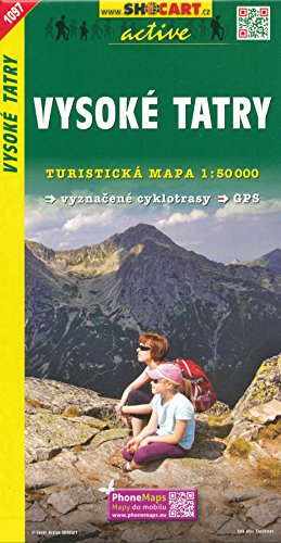
High Tatra Mountains - Vysoke Tatry (Slovakia, Poland) 1:50,000 Hiking Map, GPS-precise, SHOCArt, 2012 edition
Description
- Tatra Mountains Slovakia Poland Poprad Zakopane map
Highly detailed hiking and recreation map of the High Tatra - the highest mountains of Slovakia. The map overlaps to the Polish side of the mountains.
The map has contours at 20m intervals and relief shading. An overprint highlights numerous hiking paths, indicating seasonally closed routes, hiking time in both directions, difficult passages, sections with chains or ladders, etc. The maps also show cycling and ski routes, places of interest, various types of accommodation: hotels, campsites, shelters and mountain refuges, etc. It has a WGS84 grid showing latitude and longitude at intervals of 2'. Multilingual map legend includes English, otherwise description of places of interest is in Czech only.
The High Tatra Mountains attract hikers and climbers from all over Europe.
Shipping & Delivery
Your order is shipped from the USA and delivered to your door in South Africa in 10–20 working days. All items are fully tracked.
Returns & Exchanges
We offer a 30-day return window. If something isn't right, contact our support team and we'll make it right.