
Kentucky Map (National Geographic Guide Map)
Product Description
Kentucky Map (National Geographic Guide Map)
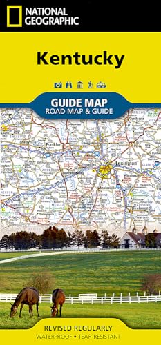
Expertly researched and loaded with helpful information, National Geographic's Kentucky Guide Map is a must-have for travelers exploring "The Bluegrass State." Cities and towns are easy to find with the map's helpful index. Highways, roadways, toll roads, scenic routes, and other roads are clearly designated. Distances in miles are noted on major highways so travelers can easily plan their best route. In addition to a state map, inset maps provide detail on the Covington, KY-Cincinnati, OH Area; Land Between the Lakes; Owensboro; Bowling Green; Frankfort, Louisville and Lexington.
Additional information and maps feature the recreation activities available in Mammoth Cave National Park and the attractions along the Kentucky Heartland scenic drive which stretches from Lexington to Harrodsburg. National and state parks, public campsites, visitor information centers, airports, ski areas, hospitals, and more are noted. A handy chart of park service sites and climate information are also included.
Every State Guide Map is printed on durable synthetic paper, making them waterproof, tear-resistant and tough capable of withstanding the rigors of any kind of travel.
- Map Scale = 1:1,140,000
- Sheet Size = 24.75" x 17.75"
- Folded Size = 4" x 8.75"
