
Mapping The First World War: Battlefields of the Great Conflict from Above
Product Description
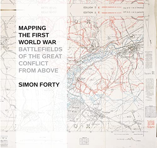
Mapping The First World War: Battlefields of the Great Conflict from Above
Follow the events of World War One from a unique perspective: more than 100 large-format maps and charts, plus related documents filled with wartime details about conscription, weapons, raids, and stations. These images capture the entirety of the devastating conflict, tracing its movements from Germany's 1914 goals to the final positions of the troops. All the maps are drawn from the National Archives at Kew in London.
Technical Specifications
You might also like

Mapping the Second World War: The Key Battles of the European Theatre from Above

A Military Atlas of the First World War

Historical Maps of World War II Europe

World War I: The Definitive Visual History

Collision of Empires: The War on the Eastern Front in 1914 (General Military)

Fall of the Double Eagle: The Battle for Galicia and the Demise of Austria-Hungary

Forty-Seven Days: How Pershing's Warriors Came of Age to Defeat the German Army in World War I

Ring of Steel: Germany and Austria-Hungary in World War I