
GALLOPADE
Gallopade Publishing Group Minnesota State Map for Students - Pack of 30 (9780635106506)
R 753

GALLOPADE
Gallopade Publishing Group Wyoming State Map for Students - Pack of 30 (9780635106773)
R 918

GALLOPADE
Gallopade Publishing Group Vermont State Map for Students - Pack of 30 (9780635106728)
Out of Stock

GALLOPADE
Gallopade Publishing Group Utah State Map for Students - Pack of 30 (9780635106711)
R 978

National Geographic
National Geographic: Maryland, Delaware and District of Columbia 1927 - Historic Wall Map Series - 19.5 x 13.5 inches - Laminated
R 1,486
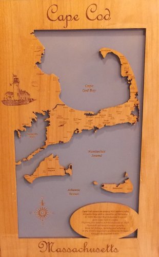
Laser Cut Maps
Wood Map Wall Hanging: Cape Cod Massachusetts (Standout 15 x 23 Medium)
R 8,190

National Geographic
National Geographic: Southwestern United States 1948 - Historic Wall Map Series - 34.5 x 23.25 inches - Paper Rolled
R 1,772

National Geographic
National Geographic: South Central United States 1947 - Historic Wall Map Series - 31.25 x 24.5 inches - Paper Rolled
R 1,772

National Geographic
National Geographic: Living on The Edge - West Coast Earthquake and Volcano Zones 1995 - Historic Wall Map Series - 22.25 x 36 inches - Paper Rolled
R 1,772

National Geographic
National Geographic: USA National Parks Inset Maps 1958 - Historic Wall Map Series - 25 x 19 inches - Laminated
R 1,975