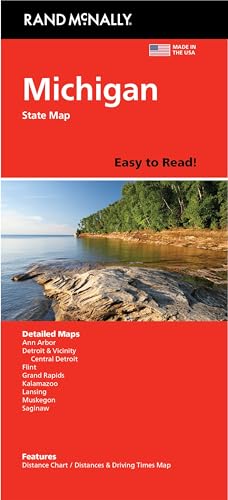
Rand Mcnally
Easy to Read: Michigan State Map
Free shipping with 3 or more products in your cart
Payflex: Pay in 4 interest-free payments of R181.50. Read the FAQ
R 726
In stock
Duties, insurance and VAT included
Delivered in 10–20 working days —
Free shipping with 3 or more products in your cart
Secure checkout
Your payment is fully protected
Duties & VAT included
No surprise charges at the door
Tracked delivery
Track your order end to end
Returns support
30-day return window
Description
- Regularly updated, full-color maps
- 45% larger map with a bigger type size than the Rand McNally Folded Map
- Clearly labeled Interstate, U.S., state, and county highways
- Indications of county boundaries, schools, shopping malls, parks, golf courses, hospitals, airports, and points of interest
- Mileage and driving times map
- Detailed index
- Copyright 2024
- Coverage Area Detailed maps of: Ann Arbor, Detroit & Vicinity, Downtown Detroit, Flint, Grand Rapids, Kalamazoo, Lansing, Muskegon, Saginaw
Technical Specifications
Manufacturer
Rand McNally
Model
052802891X
Color
Multicolor
Size
40" x 28"
Height
22.9 cm
Length
10.4 cm
Width
1.3 cm
Shipping & Delivery
Your order is shipped from the USA and delivered to your door in South Africa in 10–20 working days. All items are fully tracked.
Returns & Exchanges
We offer a 30-day return window. If something isn't right, contact our support team and we'll make it right.