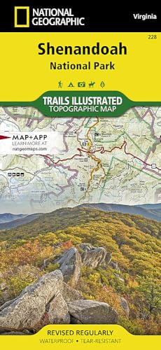
Shenandoah Map (National Geographic Trails Illustrated Map, 228)
Description
- Printed on �_oBackcountry Tough�__ waterproof, tear-resistant paper. Full UTM grid helps with GPS navigation. Includes mileage between intersections and key points of interest, such as campgrounds, visitor centers, and lookout towers.
- Wilderness areas. Rapidan Wildlife Management Area. Overall Run, Whiteoak Canyon, Cedar Run, Rose River, Dark Hollow, Lewis, South River, Doyles River, and Jones Run Waterfalls.
- Cities Front Royal, Waynesboro, Harrisonburg, Shenandoah, Elkton, Grottoes, and Charlottesville. George Washington National Forest. The Appalachian Trail.
- Shenandoah River. Skyline Drive. .
- Measures 25.5 in. by 37.75 in. when flat. Folds up to 4.25 in. by 9.25 in.
• Waterproof • Tear-Resistant • Topographic Map
Expertly researched and created in partnership with local land management agencies, National Geographic's Trails Illustrated map of Shenandoah National Park provides an unparalleled tool for exploring this beautiful park. Particular attention is shown to camping, hiking, fishing, ranger programs, and horse use in the park; and a handy chart of waterfalls provides height, location, hiking distance, and elevation gain for hikers. The print map includes insets of Loft Mountain, Mathews Arm ? Elkwallow, Skyland, and Big Meadows.
With miles of clearly marked trails including the Tuscarora, Appalachian, and Massanutten Mountain trails, and the scenic roadways Skyline Drive and Virginia Scenic Byway, this map will prove invaluable whether you're taking in the scenery on foot or by car. Many recreation features are noted as well, including interpretive trails, archery ranges, ski areas, cabins, and boat launches. The map base includes contour lines and elevations for summits.
Every Trails Illustrated map is printed on "Backcountry Tough" waterproof, tear-resistant paper. A full UTM grid is printed on the map to aid with GPS navigation.
Other features found on this map include: Front Royal, George Washington National Forest, Massanutten Mountain, Shenandoah.
- Map Scale = 1:75,000
- Sheet Size = 25.5" x 37.75"
- Folded Size = 4.25" x 9.25"
Technical Specifications
Shipping & Delivery
Your order is shipped from the USA and delivered to your door in South Africa in 10–20 working days. All items are fully tracked.
Returns & Exchanges
We offer a 30-day return window. If something isn't right, contact our support team and we'll make it right.

