
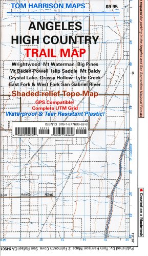
Trail Map Angeles High Country Map
Product ID: 1877689629
Condition: New
Sold Out
Product Description
Trail Map Angeles High Country Map
2006, Shaded relief map, folded, printed on waterproof and tear resistant material. Scale 1:63360 (1 inch represents 1 mile) and contour interval 80 feet. The area is high up in the Angeles National Forest, North of Monrovia, San Dimas and east of San Bernardino National Forest.
Technical Specifications
Country
USA
Brand
Tom Harrison Maps
Manufacturer
Tom Harrison Maps
Binding
Map
Height
7.2
Length
4.2
Weight
0.05070632026
Width
0.2
NumberOfItems
1
You might also like

Trail Map Angeles Front Country (Tom Harrison Maps)

Mt. Baldy, Cucamonga Wilderness, Trail Map: Camping, Mountain Biking, Hiking, Trail Camps: Shaded-Relief Topo Map (Tom Harrison Maps)

Mt. Wilson Trail Map (2013) (Tom Harrison Maps)

San Jacinto Wilderness trail map (Tom Harrison Maps)

San Gorgonio Wilderness Map (2015) (Tom Harrison Maps Waterproof and Tear Resistant)