
Washington, DC Metro Street Atlas
Product ID: 0762584874
Condition: New
Sold Out
Product Description
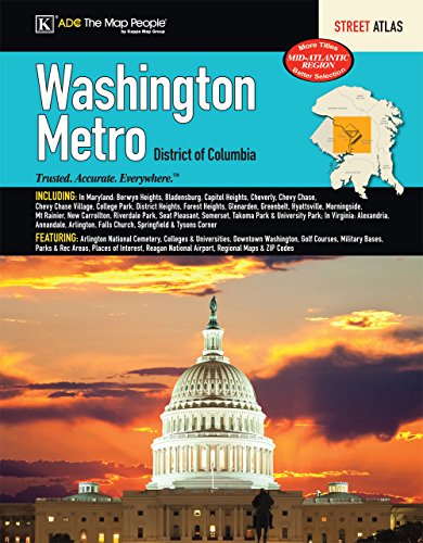
Washington, DC Metro Street Atlas
The Metro Washington, DC Atlas is a full-color street atlas, including: Berwyn Heights, Bladensburg, Capitol Heights, Cheverly, Chevy Chase, Chevy Chase Village, College Park, District Heights, Forest Heights, Glenarden, Greenbelt, Hyattsville, Morningside, Mt Rainier, New Carrollton, Riverdale Park, Seat Pleasant, Somerset, Takoma Park, and University Park, in MD; and Alexandria, Annandale, Arlington, Falls Church, Springfield, and Tysons Corner, in VA; and features: Arlington National Cemetery, Colleges and Universities, Downtown Washington, Golf Courses, Military Bases, Parks and Rec Areas, Places of Interest, Reagan National Airport, Regional Maps, and ZIP Codes
Technical Specifications
Country
USA
Manufacturer
Kappa Map Group
Binding
Paperback
EANs
9780762584871


