
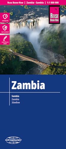
Zambia Travel Map

Product Description
Zambia Travel Map
Folded road map of Zambia. Double-sided, featuring: Contour lines with elevation data Colored Height layers Classified road network with distances Detailed Location Index The maps of the world mapping project are printed on polyart, a virtually indestructible, absolutely waterproof synthetic paper. It can be bent and folded without cracking. Furthermore, you can write on it as normal paper. It is non-toxic and recyclable.
Technical Specifications
You might also like

Zambia (Bradt Travel Guide Zambia)

Mozambique and Malawi 2016 : Rip & Waterproof Map by Reise Know-How (English, Spanish, French, German and Russian Edition)

Botswana (National Geographic Adventure Map)

Namibia (National Geographic Adventure Map)

Zambia - Culture Smart!: The Essential Guide to Customs & Culture

Lonely Planet Zambia, Mozambique & Malawi (Travel Guide)

1. Botswana & Zimbabwe Travel Reference Map 1:1,5M/1:1,1M (International Travel Maps)

Malawi& Mozambique1:900,000/1,900,000 (International Travel Maps)

Michelin Map Africa Northeast & Arabia 745 (Maps/Country (Michelin))
Zambia 1:1,500,000 Travel Map (International Travel Maps)